-
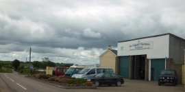
The Organic Mechanic, Barfield
-
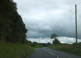
Junction for Bibbear Farm
The Organic Mechanic, Barfield
Junction for Bibbear Farm
Location and coordinates are for the approximate centre of Ashbury Plantation within this administrative area. Geographic features and populated places may cross administrative borders.