-
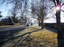
The A50 on a cold Sunday morning
-

Westcot Farmhouse
The A50 on a cold Sunday morning
Westcot Farmhouse
Location and coordinates are for the approximate centre of Arclid within this administrative area. Geographic features and populated places may cross administrative borders.