-
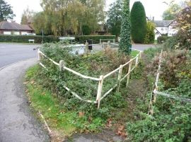
Overgrown footbridge and stream, Apsley End
-

Four-way road junction, Apsley End
Overgrown footbridge and stream, Apsley End
Four-way road junction, Apsley End
Location and coordinates are for the approximate centre of Apsley End within this administrative area. Geographic features and populated places may cross administrative borders.