-

Louth Canal at Alvingham Fen
-
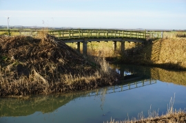
Louth Canal at Black Dike
Louth Canal at Alvingham Fen
Louth Canal at Black Dike
Location and coordinates are for the approximate centre of Alvingham Fen within this administrative area. Geographic features and populated places may cross administrative borders.