-

Alston Old Hall Barn And Farm
-
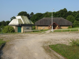
Planetarium at Alston Observatory
Alston Old Hall Barn And Farm
Planetarium at Alston Observatory
Location and coordinates are for the approximate centre of Alston Wood within this administrative area. Geographic features and populated places may cross administrative borders.