-
Old buildings at Westwood Farm
-

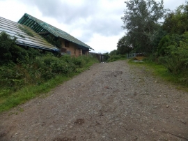
Outbuildings, at Westwood Farm
Old buildings at Westwood Farm
Outbuildings, at Westwood Farm
Location and coordinates are for the approximate centre of Alphington Woods within this administrative area. Geographic features and populated places may cross administrative borders.