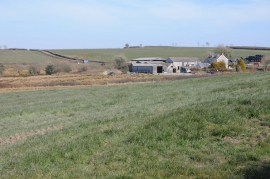
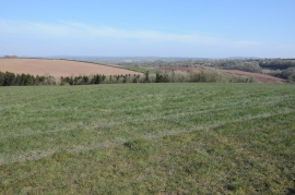
Allt Ysgubog, Carmarthenshire

« Gazetteer Entry
Upload Photo

Allt Ysgubog, Carmarthenshire

  • Parish/Community: Llangynog
  • Unitary Authority: Carmarthenshire
  • Region: Wales
  • Category: Landcover
  • Type: Forest or Wood
  • Latitude/Longitude: 51°48'11"N 4°24'16"W
  • Eastings/Northings: 234314, 214348
  • OS Grid: SN343143
  • Mapcode Local: GBR DB.XN4F
  • Mapcode Global: VH3LM.LYX1

Location and coordinates are for the approximate centre of Allt Ysgubog within this administrative area. Geographic features and populated places may cross administrative borders.

BritishPlaceNames.uk is a Good Stuff website.