-

Country road above Cwm y Meirch
-
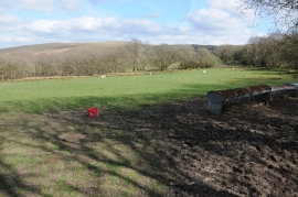
Farmland above Cwm y Meirch
Country road above Cwm y Meirch
Farmland above Cwm y Meirch
Location and coordinates are for the approximate centre of Allt yr Hafod-fawr within this administrative area. Geographic features and populated places may cross administrative borders.