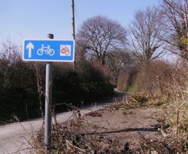
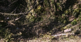
Allt y Wern, Ceredigion

« Gazetteer Entry
Upload Photo

Allt y Wern, Ceredigion

  • Parish/Community: Llanllwchaiarn
  • Unitary Authority: Ceredigion
  • Region: Wales
  • Category: Landcover
  • Type: Forest or Wood
  • Latitude/Longitude: 52°12'0"N 4°19'29"W
  • Eastings/Northings: 241218, 258304
  • OS Grid: SN412583
  • Mapcode Local: GBR DF.3HX8
  • Mapcode Global: VH3JR.0Y0V

Location and coordinates are for the approximate centre of Allt y Wern within this administrative area. Geographic features and populated places may cross administrative borders.

BritishPlaceNames.uk is a Good Stuff website.