-
Felindre Farchog
-

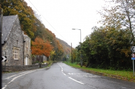
A487 near Felindre Farchog
Felindre Farchog
A487 near Felindre Farchog
Location and coordinates are for the approximate centre of Allt Pont-Baldwyn within this administrative area. Geographic features and populated places may cross administrative borders.