-
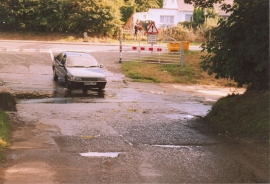
Ford at junction of B4337
-
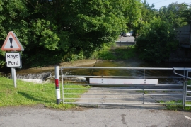
Ford at Llanrhystud
Ford at junction of B4337
Ford at Llanrhystud
Location and coordinates are for the approximate centre of Allt Fâch within this administrative area. Geographic features and populated places may cross administrative borders.