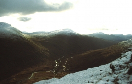
Allt Cheathaich, Stirling

« Gazetteer Entry
Upload Photo

Allt Cheathaich, Stirling

  • Unitary Authority: Stirling
  • Region: Scotland
  • Category: Water Feature
  • Type: Other Water Feature
  • Latitude/Longitude: 56°28'31"N 4°35'28"W
  • Eastings/Northings: 240500, 734500
  • OS Grid: NN405345
  • Mapcode Local: GBR HC1L.MQZ
  • Mapcode Global: WH3L0.FHZM

Location and coordinates are for the approximate centre of Allt Cheathaich within this administrative area. Geographic features and populated places may cross administrative borders.

BritishPlaceNames.uk is a Good Stuff website.