-

View towards Wardley Village
-
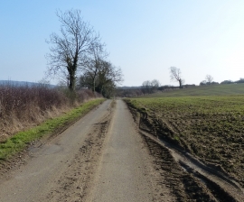
Stockerston Road near Allexton Wood
View towards Wardley Village
Stockerston Road near Allexton Wood
Location and coordinates are for the approximate centre of Allexton Wood within this administrative area. Geographic features and populated places may cross administrative borders.