-

Roadworks on Far Lane
-
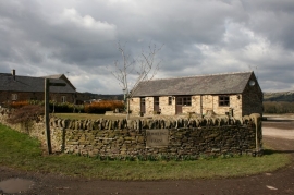
Rumbling Farm
Roadworks on Far Lane
Rumbling Farm
Location and coordinates are for the approximate centre of Allen Wood within this administrative area. Geographic features and populated places may cross administrative borders.