-
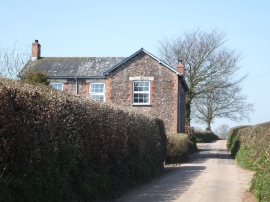
Middlehill farm house
-
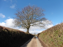
Minor road to Pilemoor Cross
Middlehill farm house
Minor road to Pilemoor Cross
Location and coordinates are for the approximate centre of Aldergrove Copse within this administrative area. Geographic features and populated places may cross administrative borders.