-
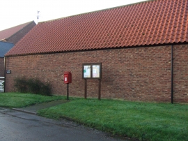
Elizabeth II postbox on Aike Lane, Aike
-
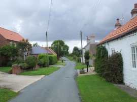
Aike, East Riding
Elizabeth II postbox on Aike Lane, Aike
Aike, East Riding
Other current and historical names
Location and coordinates are for the approximate centre of Aike within this administrative area. Geographic features and populated places may cross administrative borders.