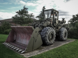
Adderley Green, Stoke-on-Trent

« Gazetteer Entry
Upload Photo

Adderley Green, Stoke-on-Trent

Other current and historical names

  • Sandford Hill
  • Built-Up Area: Stoke-on-Trent
  • Parish/Community: Stoke-on-Trent, unparished area
  • Unitary Authority: Stoke-on-Trent
  • Region: West Midlands
  • Category: Populated Place
  • Type: Suburban Area
  • Latitude/Longitude: 52°59'59"N 2°7'15"W
  • Eastings/Northings: 391972, 344738
  • OS Grid: SJ919447
  • Mapcode Local: GBR MZM.C4
  • Mapcode Global: WHBCV.DV6L

Location and coordinates are for the approximate centre of Adderley Green within this administrative area. Geographic features and populated places may cross administrative borders.

BritishPlaceNames.uk is a Good Stuff website.