-
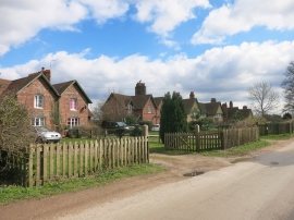
Marlston Cottages
-
Marlston Road passes Marlston Cottages
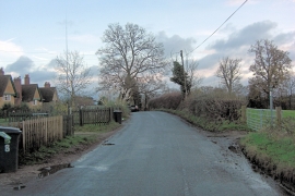
Marlston Cottages
Marlston Road passes Marlston Cottages
Location and coordinates are for the approximate centre of Adams Land Copse within this administrative area. Geographic features and populated places may cross administrative borders.