-
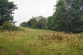
Grazing for cows below Cow Hill
-
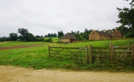
Park Farm, Great Tew
Grazing for cows below Cow Hill
Park Farm, Great Tew
Location and coordinates are for the approximate centre of Acorn Copse within this administrative area. Geographic features and populated places may cross administrative borders.