-
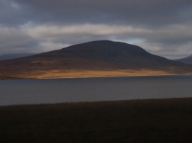
Loch an Ruathair to Meall a' Bruirich
-
Would you swap your workplace for his?
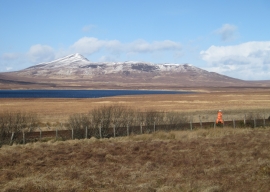
Loch an Ruathair to Meall a' Bruirich
Would you swap your workplace for his?
Location and coordinates are for the approximate centre of Achentoul Forest within this administrative area. Geographic features and populated places may cross administrative borders.