-
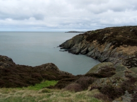
Coastline East of Porth Amlwch
-
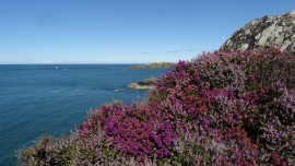
Heather on Anglesey Coast Path, W of Point Lynas
Coastline East of Porth Amlwch
Heather on Anglesey Coast Path, W of Point Lynas
Location and coordinates are for the approximate centre of Aber Cawell within this administrative area. Geographic features and populated places may cross administrative borders.