-
Orange Way in Devon and Torbay (103)
-
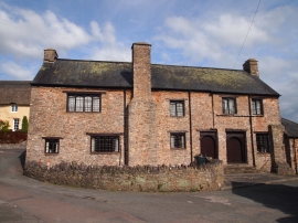
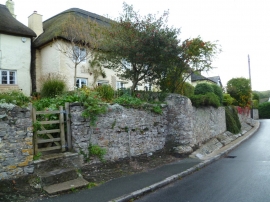
Church House, Abbotskerswell
Orange Way in Devon and Torbay (103)
Church House, Abbotskerswell
Other current and historical names
Location and coordinates are for the approximate centre of Abbotskerswell within this administrative area. Geographic features and populated places may cross administrative borders.