-
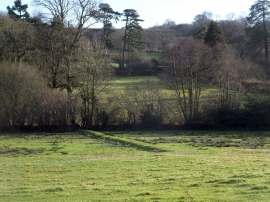
Earthworks between Dunkeswell Abbey and the Madford River
-
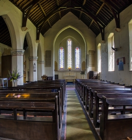
Dunkeswell Abbey Church of the Holy Trinity
Earthworks between Dunkeswell Abbey and the Madford River
Dunkeswell Abbey Church of the Holy Trinity
Location and coordinates are for the approximate centre of Abbey within this administrative area. Geographic features and populated places may cross administrative borders.