-

Ridge from A' Cheir Ghorm
-
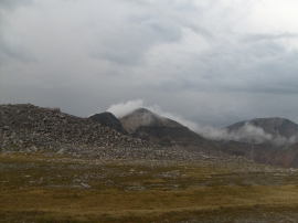
The storm leaving Foinaven
Ridge from A' Cheir Ghorm
The storm leaving Foinaven
Location and coordinates are for the approximate centre of A' Chèir Ghorm within this administrative area. Geographic features and populated places may cross administrative borders.